It seemed like each of three communities I served during my now-concluded 40-year career in community marketing and visitor-centric economic development was accompanied by a guide book written by John McPhee. One brings me to the topic of this blog.
As I settled into Spokane, Washington, Encounters with the Archdruid, then out in paperback, accelerated my understanding of a community rooted in resource extraction but whose business and environmental interests were teaming to produce an environmentally-themed world exposition.
Coming Into The Country, just out in paperback, served as a guide to the inscrutable realities of Alaska as I was recruited to guide the same type of organization for Anchorage.
As I settled into Durham, NC, recruited here to jump-start the same type of organization, I found myself immersed in the just-published hard-back edition of The Control of Nature which served to alert me to the dangers of pretentiousness and developer hubris.
I found myself re-reading the latter during my most recent 7,000-mile cross-country road-trip, as I have these and many of his other books over the years, each usually based on something he initially penned for the nearly 90-year-old weekly, The New Yorker.
McPhee’s books read as fresh and insightful today as the day they were published.
The Control of Nature is really three separate stories about prolonged instances where developers have tried to control natural processes, one about the Mississippi River, another about lava flows in Iceland and the third about debris slides off the San Gabriel Mountains.
Briefly, in the late 1960s, I lived in the top floor of a mansion less than a mile below the Rubio Wash Debris Basin against the San Gabriel Mountains in Altadena, California, overlooking Los Angeles, 14 miles below and the Pacific Ocean.
Created in 1946, two years before I was born, Rubio Wash is a reservoir, not to capture water but to intercept up to 150,000 cubic yards of sediment and rocks. While the San Gabriels are one of the fastest rising, they are also the fastest crumbling of all mountain ranges.
On average Rubio Wash captures and holds about 6,500 cubic yards of sediment annually, but under some conditions, can fill in a matter of hours. In early 1980, storms overwhelmed a basin above Rubio Wash so rapidly it overwhelmed even the diversionary system and once again debris flowed out of Rubio and into neighborhoods along its natural course.
Debris, including huge boulders from the flow, reached where I had lived a mile below the basin, inundating homes and vehicles. In yet another half mile it came to a stop. A slide had also caused destruction in 1978. A fire in late 1979 had stripped vegetation, making massive erosion possible again a few months later.
The “San Gabes,” as they are called, are incredibly steep with deep v-shaped canyons. When settlement came, it occurred on numerous rivers of sediment, as deep as 900 feet that flowed down from the canyons and out onto the coastal plain sloping toward the ocean and fanning out like a river deltas and resulting in flood plains.
These rivers of sediment were not a problem for Native Americans or Mexican settlements in the 18th century. By the early to mid 1800s there were just 800 people living in Los Angeles, and according to McFee, “huge contiguous cattle [and sheep] ranches lined the San Gabriel front.”
They were named Rancho San Jose, Azusa de Duarte, Santa Anita, La Canada, Tujunga and San Fernando, often running down to the ocean, covering tens of thousands of acres and running tens of thousands of livestock each.
Where I lived those few months was once part of the 14,000-acre Rancho el Rincon de San Pascual, granted first in 1826 to the long-time “keeper of the keys,” or you might say COO at the San Gabriel Mission. Today, Pascual has been transformed into Altadena, Pasadena, South Pasadena and San Mario, California.
A few years after the house I lived in was built, San Pacual’s early nineteenth century ranch house, Flores Adobe, was restored and given historical recognition. Months before my tenure along the San Gabes in the 1960s, yet another family rescued it from the wrecking ball.
By the 1870s, ranching gave way to orange groves spurred by the advent of refrigerated shipping in the 1880s. It grew to 1.1 million producing-trees by 1890.
But with the railroad came a land rush and by 1914, the year after the home in which I once lived was built, the population reached 800,000. A massive flood of debris roared out of Rubio Canyon along with other tributaries to the Arroyo Seco (meaning dry stream in Spanish) and the river of sediment nearly filled LA’s harbor at San Pedro after wiping out 10 bridges.
Damages, not counting the harbor clean-up, exceeded $230 million at today’s values. Mind you, this is with a population of 8% of what LA is today. Debris alluvial fans and flood plains are more dangerous than rivers. The 1914 event wasn’t the first recorded in the 1900s or even the greatest of nearly 30 more that have occurred in the years since.
In 1881, one of the ranchers had quipped – “Hell, we’re giving away the land, we’re selling the climate.” It just so happened that the best views and most easily developed land was on top of slopes of active alluvial sedimentary fans.
Along LA’s coastal plain, danger from floods is both on these slopes and below where they exit onto flood plains. It is as much from rock as it is water, the combination of which is lethal.
WWII production accelerated population growth the decline of orchards. Eager developers built homes on the alluvial fans and higher and higher against the San Gabriels.
But the costs associated with controlling nature and dealing with the shedding of debris was shifted onto taxpayers. Developers may have been “selling climate” but they were shouldering taxpayers with such a mess that even the chamber of commerce demanded action.
Of course, this was not demanded of the developers for whom they advocated but of local government and ultimately millions of unrelated residential and commercial taxpayers.
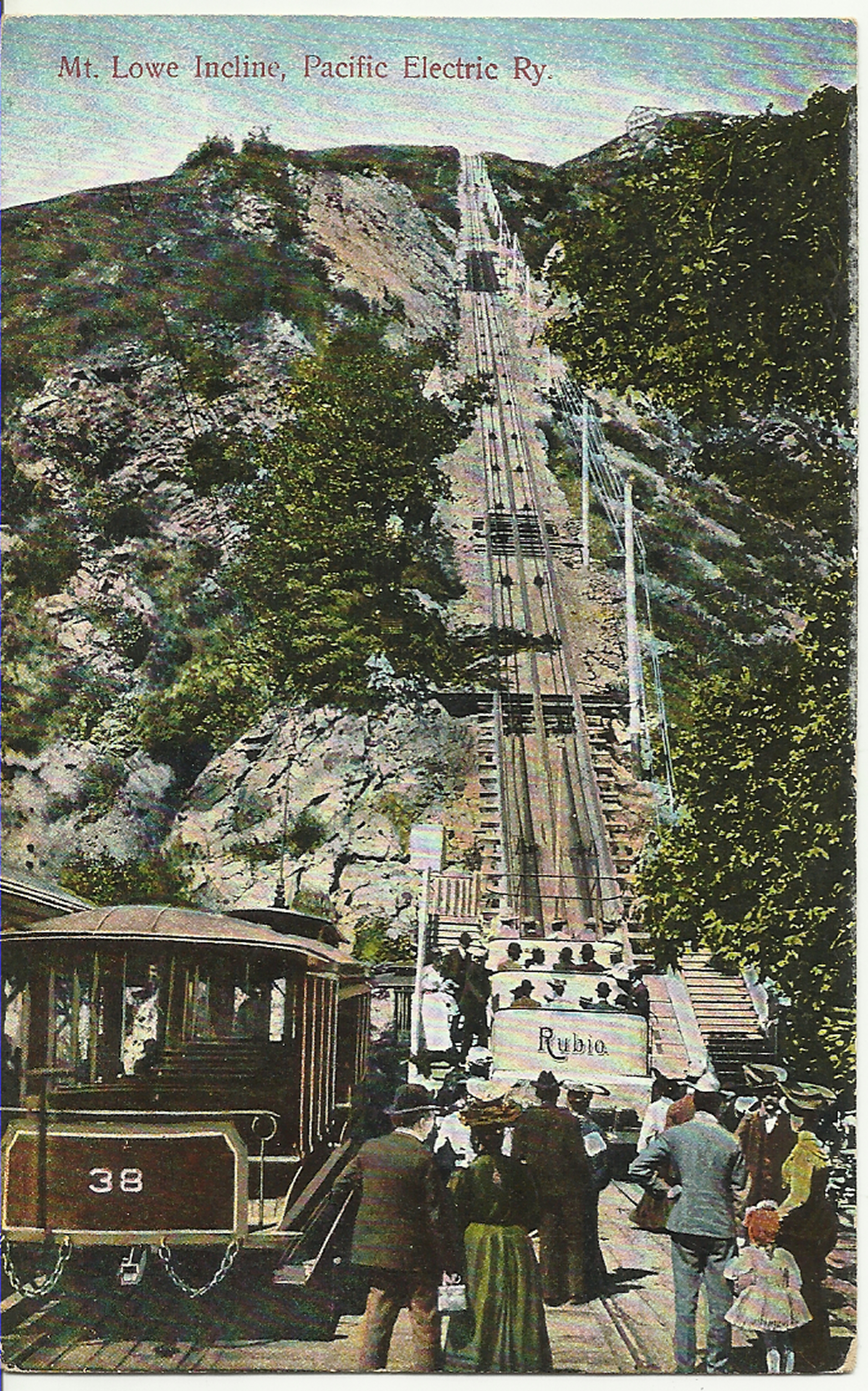
Alluvial flow also creates mountains, such as Echo Mountain above where I lived, between Rubio and Las Flores canyons. In 1893, a Civil War balloonist, inventor and trolley developer opened a tourist attraction on the very top of Echo Mountain, called The White City that included two hotels, an observatory and a zoo.
Over the next 45 years, three million tourists road the trolley up Rubio Canyon, then took a tram and finally landed to take what the operators called “White Chariots,” the final 1,300 feet to visit the resort. Failing to control nature, it suffered a series of fires, torrential flash floods and devastating windstorms, and was abandoned in 1938.
In the 1990s while repairing pipes in Rubio Canyon, the water company inadvertently set off a debris slide that buried its waterfalls. Then nature intervened and in 2004, a huge rainstorm and flash flood initiated a massive debris flow.
This created a new canyon floor 20’ higher than it had been, burying the spot where a vineyard, fruit and vegetable farm had been in the mid 1960s, and partially filling filling the debris basin below.
Because development rarely practices “full-cost” accounting, the taxpayers of Los Angeles County are left to shoulder the constructing of channels and more than 160 reservoirs to capture debris slides. Then they empty them, some the capacity of the Rose Bowl, four miles below where I lived.
In fact, each year, Los Angeles Sediment Management removes enough rock and debris from its basins to fill 169 Rose Bowls, a facility requiring a dam to protect it from the natural path of a alluvial river.
And that is just the beginning when it comes to the cost to taxpayers of development on these rivers of sediment. Some of what LA County removes is used as cover on landfills but most goes in pits, like giant reverse “open pit mines” or quarries that are then filled with debris from basin cleanouts.
Some is trucked back up in the mountains, where the pits destroy trees, including treasured oaks and other vegetation, and sets in motion the cycle all over again. In time, the debris will once again flow out of the mountains and down alluvial rivers.
In the next 20 years, LA estimates that these efforts to control nature will cost taxpayers more than $2 billion, $8 billion if the debris has to be removed wet during catastrophic weather events. This is $8 billion that should have been factored by developers into the costs of private development.
There are lessons from the San Gabes for lawmakers in my adopted North Carolina who are eager to draw out-of-state haulers by creating giant landfills next to refuges, override local stream buffers, enable development on floodplains and clear cut roadside forests for out-of-state billboard companies.
Private or public, property owners must respect nature or the public will pay the price. Regulations are meant to limit the public’s liability by requiring development to use full-cost accounting.
It has been a quarter of a century since McPhee penned The Control of Nature and nearly 100 years since business interests demanded that government control debris flows along the San Gabriel front.
We haven’t learned much and in North Carolina, it seems we may be regressing.
3 comments:
Great Post! http://www.Junkremovalheroes.com
trash pickup
great post on rubbish removal
http://www.cleanoutexpress.com
great
www.cleanoutexpress.com
Post a Comment