When people hear I was born and spent many of my formative years in Idaho they typically have one of two reactions:
- “Oh, where they grow the corn?” – nope, that’s another “I” state, look a little more west, or
- “Oh, on a mountain top.” – Kind of but a mile-high one buried in lava.

Fremont County, Idaho is located right in the very nook between Montana and Wyoming, framed by the three looming Grand Tetons to the east and the Centennial Mountain Range to the north which is crested by the Continental Divide.
The County is forested by the Caribou-Targhee National Forest and dissected by the Henry’s or North Fork of the Snake River as it carves from caldera to caldera, slowly descending from the highlands down onto the Snake River Plain to rendezvous fifty miles downriver with the South Fork.
For all of the forests, mountain ranges and rivers, the area is somewhat flat but dotted with hills and dales and filled with “basaltic volcanics” including unique, columnar rock formations, some ground down into incredible topsoil and rangeland. The calderas are part of a chain of large, smooth, hardened lakes of molten lava created as each was filled and then overflowed into another fed from the eruptions of the Yellowstone Supervolcano.
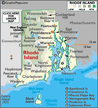
Ranging in altitude from 10,240 feet decending down to 4,380 feet, Fremont County is 80% larger than the land area of the entire State of Rhode Island but just less than 32% is privately owned. The remainder is held in the public interest, mostly by the National Forest Service and the Bureau of Land Management as stewards.
The population of the County is currently 13,242 which is up from 9,351 when I was born but about half what it was around the time my ancestors arrived there during a robust period of colonization.
I was born onto a horse and cattle ranch with related meadows and cropland for raising feed. It was homesteaded and then assembled at the turn of the 19th century into the 20th century by both my paternal great grandparents and grandparents just one mile west of the Ora Bridge as it crosses the Henry’s Fork. (shown in the recent image taken by Darren Clark and used in this blog)
That world-famous fly-fishing river carves south through one of those calderas that stretches from the grandest of the Tetons which loom a few miles to the east across the rangelands of Clark County and the Bitterroot Range to the west as those mountains arches down from Northern Idaho forming the border with Montana.
I left Fremont County and Idaho decades ago but its views and topography and wildlife and sounds and smells are all part of a unique sense of place that will never leave me.
No comments:
Post a Comment